

Tracking Santa and Treacherous Weather
Radar, Doppler, Infrared and Jet Fighters
As Ned Stark so ominously warned, “Winter is coming.” And for many of us, the snow is flying, temperatures have dropped and indeed, winter is no longer coming – it’s here. So how do we make the most of this blustery season? For starters, it’s nice to know exactly where good ol’ St. Nick is, and for that, the official NORAD Santa Tracker has us covered. Secondly, it can’t hurt to know exactly how cold it’ll be, and that’s where reliable imaging technology comes in – which helps provide accurate weather reports.
Tradition
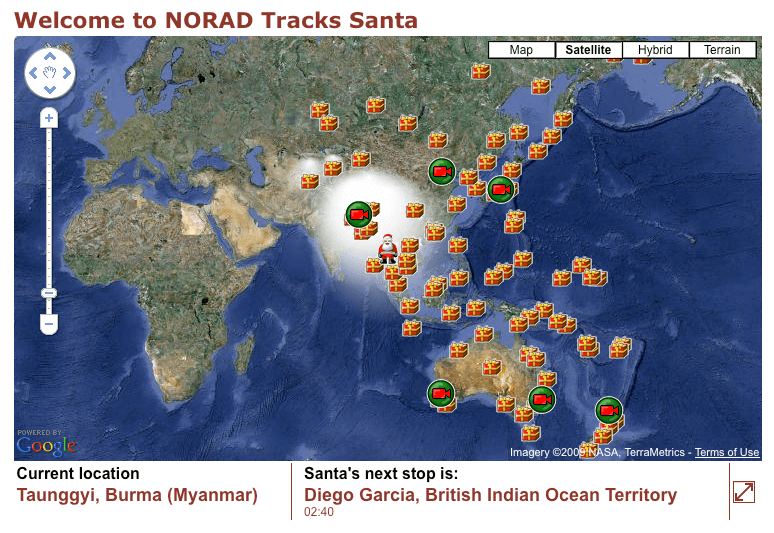
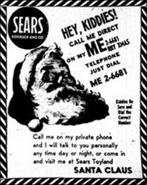
Santa is real, and so naturally it falls to the North American Aerospace Defence Command (NORAD) to track his journey every year. A popular children’s phenomenon, NORAD has dedicated each winter season to “track” Santa Claus as he makes his way across the sky, delivering presents to children around the world. The annual tradition began in 1955 after a local business in Colorado Springs misprinted a telephone number for children to call Santa. The misprint directed children to the Continental Air Defense Command’s (CONAD) Commander-in-Chief’s operations hotline. The Director of Operations at the time Colonel Harry Shoup asked his staff to check for Santa on their trackers and each child who called was given an update on where Santa was at that time.
CONAD became NORAD in 1958 and the tradition has carried on to this day. Every year, a group of volunteers gather and from Christmas Eve to Christmas day, they answer calls and emails from children around the world. Children can also stay up to date on Santa’s whereabouts by tracking the big guy online on the NORAD Santa website.
Tracking Technology
According to NORAD, they use four technologies to track Santa. The technologies include radar, infrared satellites, SantaCams and jet fighters. The radar system used for the Santa Tracker is called the North Warning System. The system has 47 installations across Canada’s North and Alaska, which look for indications of Santa Claus leaving the North Pole. The satellites used to track Santa are located in a geosynchronous orbit 22,300 miles above Earth. The satellites have infrared sensors which trace the thermal signature from Rudolph’s nose and help NORAD track Santa’s movements. The third system used is the SantaCam. The cameras are “high-tech and high-speed” and are positioned around the world. NORAD only uses these cameras once a year, and only to track Santa. The cameras take pictures of Santa and his Reindeer, and the images are available immediately on the NORAD website. The final technology used to track Santa are NORAD’s Jet Fighters. The jets provide Santa with an escort throughout North America and provide one more data point to let everyone know exactly where Santa is. Combining these four technologies, NORAD is successfully able to track Santa Claus and provide anxious children with an update on his location every year.
Stormy Weather
The winter months between December and March bring unpredictable weather all around the Northern Hemisphere, particularly in North America. Snowstorms, icy roads, and all round risky conditions are a problem, and tracking and monitoring the weather can help to ensure safe travels. In Canada, the government provides reliable information on weather.gc.ca. The website provides forecasts, radar and satellite tracking, weather charts, aviation reports and text bulletins to keep citizens informed.
Tracking Technology
Radar stations across the country update precipitation levels and weather reports over time. The radar feature on the website allows for customized reports including animation of weather as it happens, overlays of cities, roads, rivers and radar circles and an intensity scale to indicate the severity of weather with 8 or 14 colors. The satellite feature on the website is comprised of data from the National Oceanic and Atmospheric Administration (NOAA) courtesy of the U.S. Department of Commerce.
“The NOAA Satellite and Information Service provides timely access to global environmental data from satellites and other sources to monitor and understand our dynamic Earth. We manage the Nation’s operational environmental satellites and deliver data and information services such as Earth system monitoring and official assessments of the environment.” – NOAA
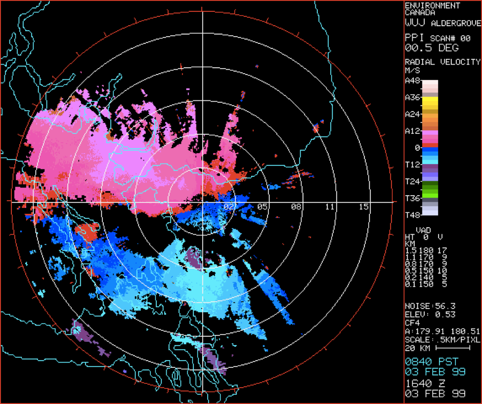
Satellite categories are split up between geological areas and offer selections of infrared, visible or combined infrared and visible images. Most weather trackers also use Doppler, which is a radar that uses the Doppler Effect to produce velocity data on objects at a distance by bouncing a signal off a target and analyzing how the movement of the object has changed in the return signal. Doppler can not only see the precipitation in a thunderstorm but the movement of the precipitation along the radar beam. It can measure how fast rain or hail is moving toward or away from the radar. In the winter, when precipitation is common, radar, satellite and Doppler technologies are how people are informed of daily weather reports and warned about upcoming storms to ensure safety and caution.
Whether it’s tracking Santa’s anticipated arrival on Christmas Eve or chasing a menacing winter storm, satellite imaging and radar technology are the “tools of choice” for knowing where and how quickly events are unfolding in the atmosphere. And while both can be used for an increasing number of monitoring activities, we’re pretty certain the most exciting thing for kids at this time of year is tracking Santa as he makes his jolly way across the skies delivering toys all around the world.
